This Amateur ham radio QTH locator grid square calculator tool converts
Latitude and Longitude geographical coordinates into
Maidenhead Grid Square
with up to 5 pairs of accuracy (e.g. JJ 00 aa 00 aa).
This app assumes that by default your device reports
Latitude and Longitude in Decimal Degrees and Elevation in meters.
Tap on the Grid Square value to have it read to you in phonetics.
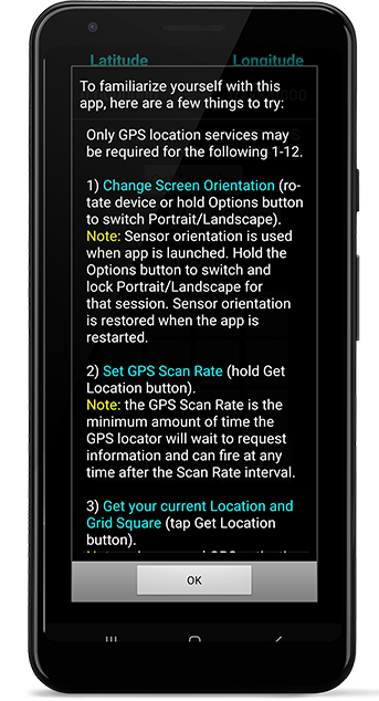
To familiarize yourself with this app,
here are a few things to try.
To convert among Decimal Degrees (DD), Degrees Decimal Minutes (D:DM),
and Degrees Minutes Seconds (D:M:S), tap either the Latitude or Longitude value field.
Tap on the Elevation field to convert between meters and feet.
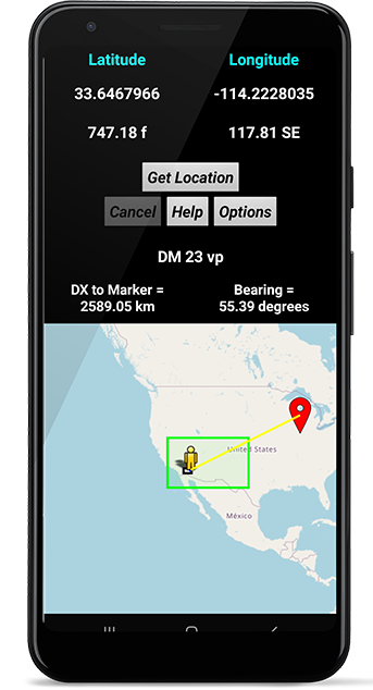
You may use the Location Sensor in your Android device
to obtain your geographical location and calculate your current Grid Square.
Location Services need to be manually enabled and
permission granted to GPS/Fine/Precise Location.
Initial coordinate acquisition time via GPS varies
depending on your location and/or Android device.
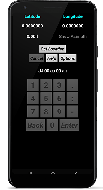
You may enter a custom Latitude and Longitude via the numeric keypad
to calculate a custom Grid Square by
holding the Latitude or Longitude value field.
The numeric keypad will be enabled and you may enter coordinates in
DD, D:DM, or D:M:S format, depending on the current display.
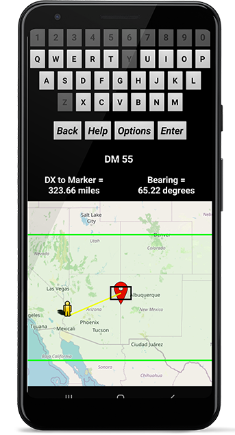
You may also enter a custom Grid Square value and have it drawn on a map.
Either the Offline Map or Online Map option needs to be enabled.
Hold the Grid Square value field or tap the GRID SQUARE icon to
enable
the Custom Grid Square alphanumeric keypad and map options.
Using the Offline Map options you may tap on the maps,
enter a custom coordinates,
or enter a custom Grid Square via
the Grid Square alphanumeric keypad and have
that location
drawn on static Field and Square maps with a SubGrid pointer.
Offline Maps are limited in detail and interaction.
Alternatively, if you have an internet connection,
you may use the Online Map option to display a map of your surroundings.
Use Options to switch among Road, Terrain, and Aerial map types.
Hold on a map location to use those coordinates as a custom Latitude and Longitude
and to draw Grid Squares for that location.
Please note: the Online Map not a Grid Square map,
but is provided as another way to enter custom geographical coordinates
for a custom Grid Square calculation, and to calculate DX & Bearing.
For a Grid Square map, please use the Offline Map options.
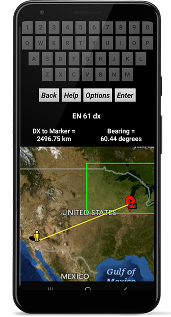
Also with an internet connection, you may enter a custom Grid Square value
and have those areas outlined on a world geographic map.
You can enter values of Field (green), Grid (black), SubGrid (blue),
Extended Square (cyan), and Super Extended Square (red).
Hold the Grid Square value field to enable the Grid Square map and alphanumeric keypad.
You may enter 2, 4, 6, 8, or 10 characters and the corresponding regions will be outlined.
If your device has an Orientation Sensor, then Azimuth readings will be displayed
in decimal format and can be used as a compass.
Tap on the Azimuth reading to show/hide.
Optionally, you can choose to have your device sound and/or vibrate
if the custom coordinate input is invalid or out of range, and with the Speech On option
the Grid Square will be read to you in phonetics each time it changes.
You may also choose to enable
DTMF tones on the keypad.
The Decimal key doubles as DTMF *, and the Minus key doubles as DTMF #.
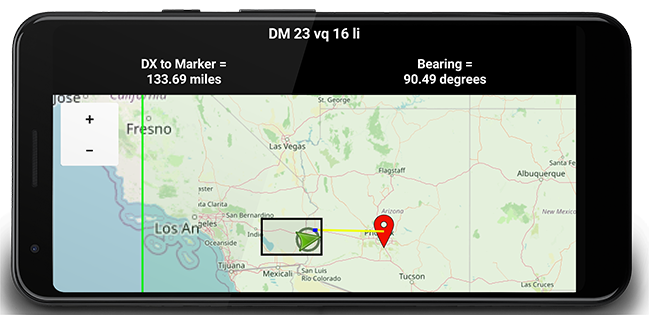
Hold the Option button to toggle between Portrait and Landscape modes.
This Android app may be of interest to 10m/6m/VHF/UHF/microwave
amateur ham radio contest operators, grid square hunters,
QSO party participants, and satellite contacts.
This app is intended as a amateur ham radio Grid Square calculator tool
and QTH locator for VHF/UHF/microwave radio contesting and QSO parties.